Bartholomew Maps
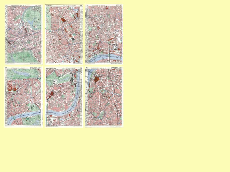
Map pages 64-left, 64-right, 65-left
Map pages 74-left, 74-right, 75-left
Until 1965, Inner London was known as Metropolitan London. In that year the 28 Metropolitan Boroughs were combined in groups of two or three to form just 12 large administrative areas - known as London Boroughs. The boundaries of the 12 London Boroughs are shown on current street atlases. The original Metropolitan Borough boundaries are now no longer shown on street maps. The last time they were shown was on Bartholomew's Reference Atlas of Greater London.
The pages of the atlas shown above are stored as images on the 'Keep and Share' Website (under 'Pp Bart Small').
•
